A compass indicates
the direction to the magnetic north pole, which changes position, rather than the geographic north pole, and is
influenced by local variations in the earth's magnetic field. Two variations along the flight path would require
the pilot to steer the plane on two different magnetic bearings to maintain true heading and stay on course.
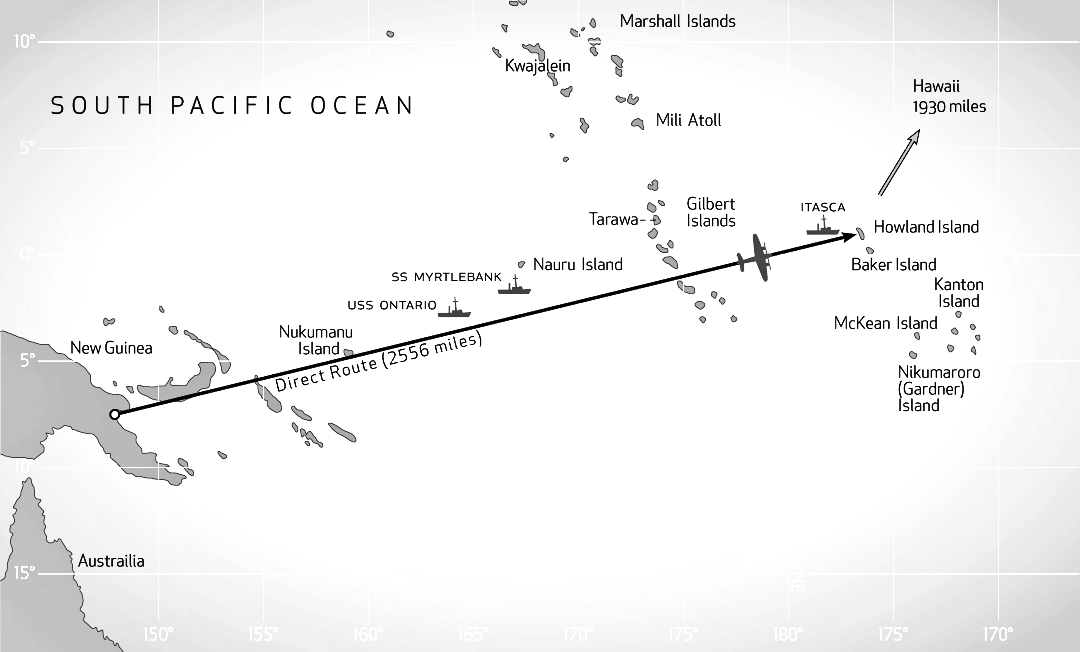
Fred Noonan's chart is not available. Before departure, he may have plotted
diversions from a direct path to avoid the forecast bad weather to the east and perhaps also to take a bearing
from the island of Nauru.
The
actual flight path may have been due east from Lae over the northern Solomon Islands; then northeast to Nukumanu
or Luangiua Atoll (Lord Howe Atoll) (Ontong Java Atoll); then
northeast to within 35 to 50 nautical miles south of Nauru; and then east to Howland.
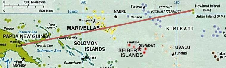
If the weather to the east was too for flight over the Solomon Islands,
the plane may have flown south of the Solomon Islands and then northeast through the Gilbert Islands. But this path would
require extra fuel. Instead, the plane would have returned to Lae.